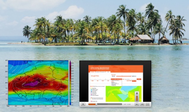
DE was hired by IICA (Inter American Institute for Cooperation on Agriculture) to create and deliver a three day workshop on agricultural risk mapping. The workshop was broken into three modules each covering different aspects of resilience and disaster risk analysis for agriculture. The countries that were focused on were: Trinidad and Tobago and Guyana. DE’s environmental risk analysis and GIS team created the content for the modules and delivered the workshop.
Module 1A: Conceptual Framework of Risk Management
Module 1B: Risk Management in Agriculture: Concepts of Hazards, Vulnerability, and Resilience
Module 2A: Use of Risk Maps — Key Definitions, Areas of Application, Examples
Module 2B: Guyana, Trinidad and Tobago — Applications of Agricultural Risk Maps — Tools and Data Requirements
Module 3A: Applicability of Risk Maps — ARM and Open Data
Module 3B: ARM Workflows with QGIS
Module 4: Institutional Support for ARM


